For professional Surveying & Spatial Data Processing services call 0407 351 142
Geocomp Consulting provides consulting services and software solutions for surveyors, civil engineers and spatial data professionals.
GeoCivil Software
GeoCivil is a Windows-based application that provides survey and coordinate geometry functionality, integrated with a powerful CAD capability.
GeoCivil replaces the DOS-based GEOCOMP.

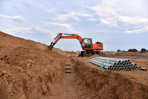
Land Development
Geocomp Consulting offers consulting services for a wide range of land development projects such as:
• A-Spec as-built data processing
• Whole of town backlog sewer design
• Cadastral mapping and spatial upgrade
• Boundary, feature and contour surveys